
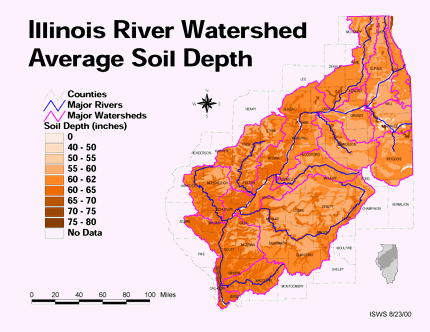
 Thematic maps connect a certain geographical area to a particular data set to portray a theme. The above map shows the average soil depth of Illinois using different shades of brown.
http://ilrdss.isws.illinois.edu/links/all_results.asp?sp=main&searchCat=County&searchTag=69&page=2
No comments:
Post a Comment