
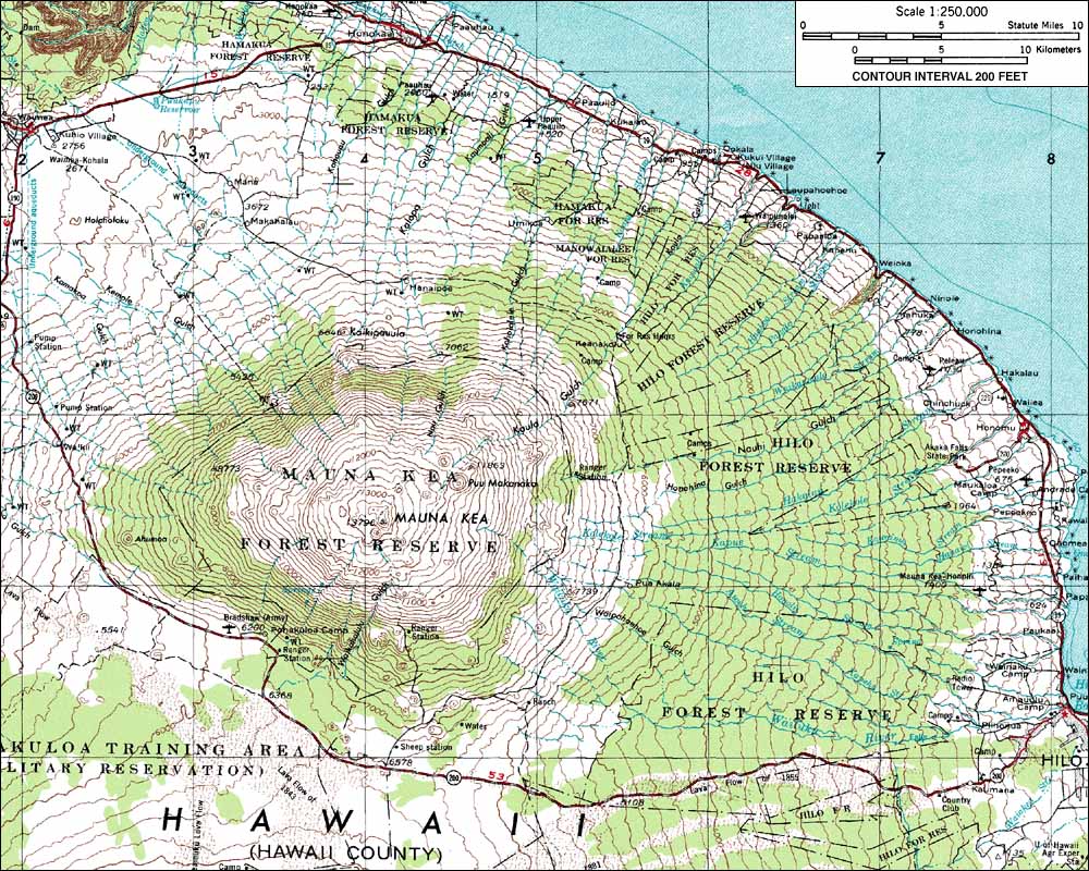
 The above map is a topographic representation of Mauna Kae, which is the tallest point in Hawaii. Topographic maps show elevation changes over a given section. The closer the contour lines are, the steeper the slope is. Also, if you look at the contour lines they are labeled by how high the given line is above sea level.
http://www.skimountaineer.com/ROF/ROF.php?name=MaunaKea
No comments:
Post a Comment